Our Family Wild Walks Maps
We've made maps of all 12 favourite Wild Walks in Hackney. Now it's time for your children to take you on an adventure in your local neighbourhood!
The Original Hackney Wild Walks

These three walks were developed by Outdoor People in partnership with Hackney Council's Public Health team in 2014, updated in 2021.
Woodberry Down & West Reservoir

Nearest station: Manor Park Tube Station.
Nearest bus stop: Bus Stop V, Woodberry Grove on Seven Sister's Road.
Download your printable Wild Walk map here: PDF (colour)
This is longer route on the OSMaps App: Link
Follow the a slightly different route in the same area on the Go Jauntly app.
Hackney Marsh & Kingsmead Wild Walk

Nearest station: Homerton Overground Station (15 minute walk to start point)
Nearest bus stop: Bus Stop B Kingsmead Estate (where Kingsmead Way meets Homerton Road)
Download your printable Wild Walk map here: PDF (colour)
Haggerston & Hoxton Wild Walk
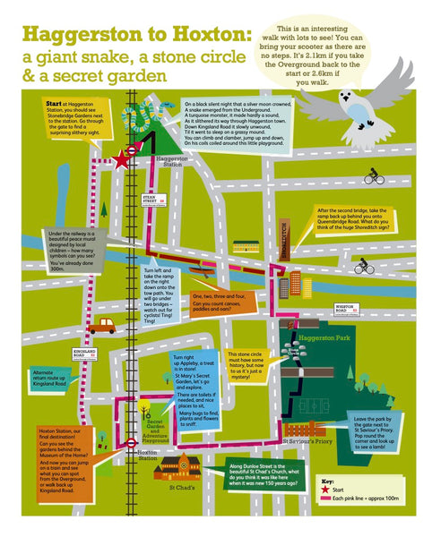
Nearest station: Haggerston Overground Station
Download your printable Wild Walk map here: PDF (colour)
New Family Wild Walks
These walks have been developed by Outdoor People with support from the families and volunteers that join our walks, with great thanks for funding from Hackney Giving, the National Lottery Community Fund, Arc'teryx Outer Peace and Its Great Out There.
Walthamstow Marshes & Springfield Park Wild Walk

Nearest station: Stamford Hill Overground Station (12 minute walk)
Nearest bus stop: Clapton Common Stop CT (Stop ID: 49927)
Download your printable Wild Walk map here: PDF (colour) PDF (B&W)
Abney Park Cemetery Wild Walk

Nearest station: Stoke Newington Overground Station
Nearest bus stop: Stop X Stoke Newington Church St High Street
Download your printable Wild Walk map here: PDF (colour) | PDF (B&W)
Follow it on the OS Maps app: Link
Newington Green Wild Walk

Nearest station: Canonbury Overground Station (8 minute walk to start point)
Nearest bus stop: Stop NK Newington Green.
Download your printable Wild Walk map here: PDF (colour) | PDF (B&W)
Follow the route on the Go Jauntly app.
Follow it on the OS Maps app: Link
Parklands Wild Walk

Nearest station: Manor Park Underground or Finsbury Park Station
Nearest bus stop: Seven Sisters Road, Alexandra Grove Stop Q (stop ID: 76171)
Download your printable Wild Walk map here: PDF (colour) | PDF (B&W)
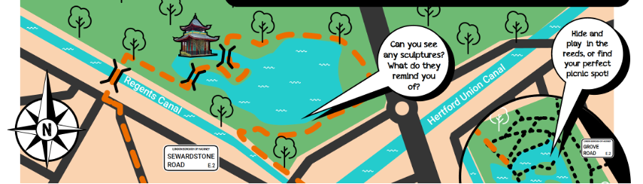
Victoria Park & Mile End Wild Walk

Meeting point: What3words - ///bright.fields.method Google Maps
Nearest station: Cambridge Heath Overground Station (10 minute walk to start point)
Nearest bus stop: Stop HA Bonner Road or Stop SN Skipworth Road
Download your printable Wild Walk map here: PDF (colour) | PDF (B&W)
Follow the route on the Go Jauntly app.
Take a friend!
Check out our top 5 tips for encouraging a reluctant child or friend to get outdoors and the recently republished 5 tips for connecting with the outdoors and more...
Do share your journeys - #FamilyWildWalks
For more information email Beth, our Community Coordinator, at beth@outdoorpeople.org.uk to find out how we can support you.
Huge thanks to our funders and everyone that has shopped with or donated to Outdoor People!


![]()